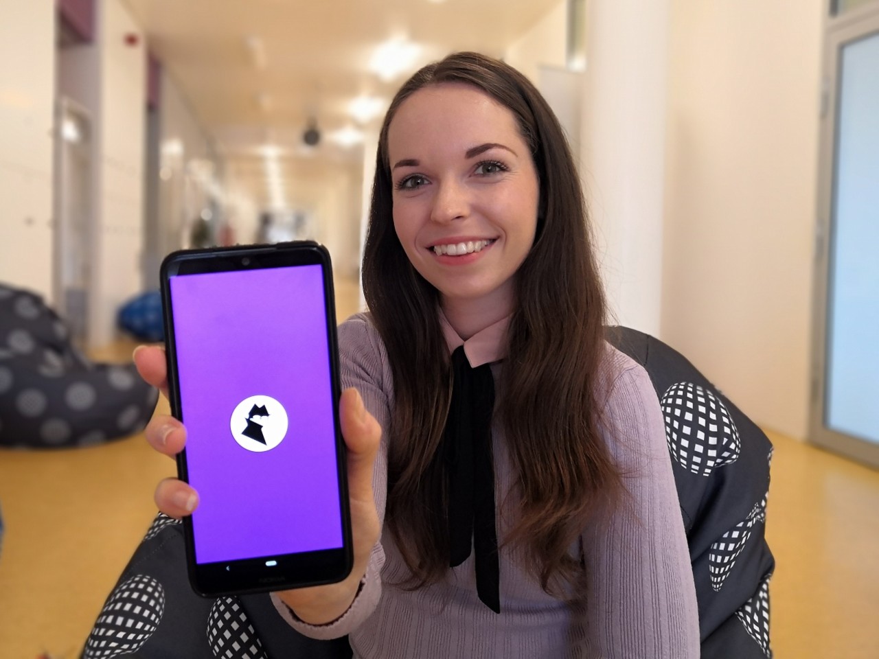
The new Cin City mobile application, which records subjective perceptions of urban environments, is intended to help cities plan their further development. The application was created by Lucia Brisudová, a doctoral student at the Department of Geography at the UP Faculty of Science, in cooperation with experts from the University of Manchester. Citizens of Olomouc and Manchester will be able to use the application on a trial basis, and the data obtained will be used by the local governments. The application is free, and currently available for Android devices. The link for download can be found here.
The Cin City application (Civic InnovatioN in CommunITY) was created during a research internship that Lucia Brisudová completed at the University of Manchester in 2021. “Its current user-friendly design allows the marking places that citizens personally consider pleasant, unpleasant, or abandoned. Furthermore, we use the application to determine the intensity of the feeling and its cause,” she said. The information entered by citizens into the application, together with the time and GPS coordinates of the place, is immediately stored in a database which can then be used by town hall planners. Users do not have to worry about the app tracking their movement throughout the day, as it only records the location of the place they decide to report themselves.
Although the mobile application was created as part of a dissertation, the authors wanted to use the collected data for the strategic development of Olomouc and Manchester from the very beginning. These cities are willing to get involved in the research. “The Department of Strategy and Management of the City of Olomouc is acquainted with the course of the research and with the preliminary results. Together, we are trying to ensure that the city makes practical use of the information obtained, and we are already making the Cin City application accessible to the widest possible circle of Olomouc residents,” said Brisudová. The authors of the application are also cooperating with the Transport Research Centre, which will use the obtained data in updating the Olomouc Sustainable Urban Mobility Plan.
Lucia Brisudová got the idea to create a mobile application during her dissertation research which focused on the perception of the urban environment from the point of view of the inhabitants. The young scientist also deals with how the perception of the urban environment changes not only during the day and night, but also over a longer period of time.
“This approach is called participatory mapping, and directly involves the inhabitants of cities and municipalities in urban planning. In recent years, this procedure has been gaining more prominence and is being applied in many cities throughout the Czech Republic and abroad. The comprehensive data gained from the mapping contains suggestions that are based on real experience of the inhabitants, and serves in more effective and targeted planning of the urban environment,” the scientist added.
Lucia Brisudová therefore tried to develop a tool with which it would be possible to perform similar mapping more realistically and differently than just by using various map applications or questionnaires. This new approach will make it easier for cities to gather spatial information and at the same time allow residents to participate in the mapping whenever and wherever around the city. “One of the goals and at the same time the advantage of this new approach is the sharing of suggestions and proposals for the improvement of a specific area, which will get to the responsible employees of the municipality,” said Lucia Brisudová.
In March, Lucia will leave for the University of Manchester for another internship, this time in the criminology department. “In addition to professional cooperation on ongoing research, I would also like to work on the further development of the Cin City application and expand its use in the field of participation, strategic urban planning and also in the field of public space security,” she added.