The unique web application Olomouc from Above (in Czech: Olomouc z výšky), created at the Department of Geoinformatics of the UP Faculty of Science, allows you to view historical aerial images of Olomouc from different time periods in the last century and compare them with the recent past or the current appearance of the city. Through a pair of aerial photographs taken at different times, it is possible to get an idea of how the city has changed over the decades. The earliest aerial photographs of Olomouc used in the application date back to 1927. The mapping tool, which is available at olomouczvysky.upol.cz, was created as part of a Bachelor’s thesis under the supervision of Jakub Miřijovský and Rostislav Nétek.
“Historical aerial images in particular are relatively difficult to access by the general public, and no application for the city of Olomouc displays them in a wider time period. Therefore, we decided to offer this interesting opportunity to Internet users to get a bird’s-eye view of the city’s history. The application Olomouc from Above includes a series of all currently known and available aerial images for the Olomouc area, from the oldest imagery in Czechoslovakia (1927) to the latest one in 2021,” said Vojtěch Jabůrek, author of the app.
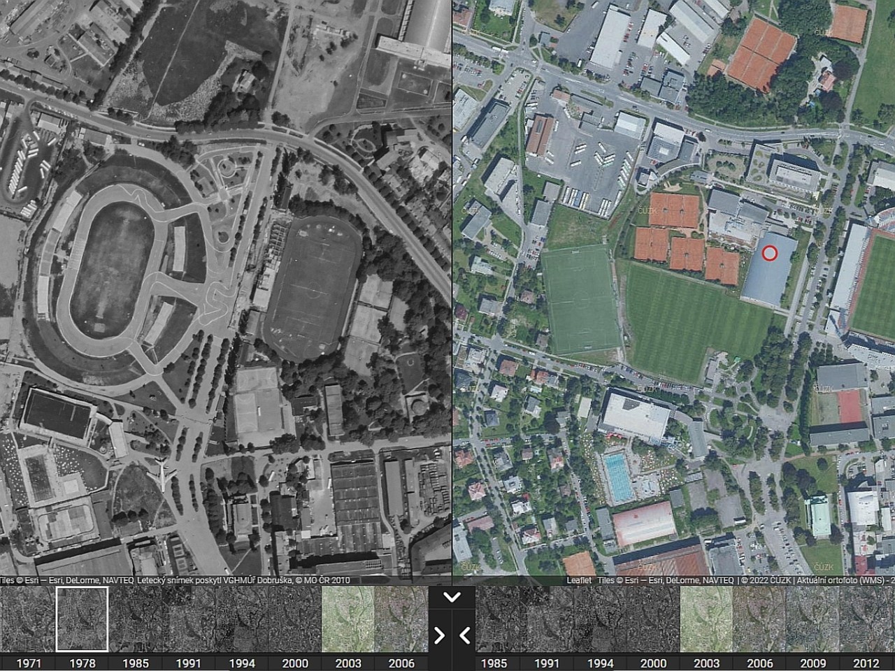
The map application contains a rich database of aerial images of Olomouc. Selected photographs of the city can be compared thanks to Multiple View technology, which synchronizes the view of a selected part of the city map using two aerial photographs from different periods. Using the intuitive layer selection control, the visitor to the application website first selects a pair of aerial images from different years, which can then be zoomed in, zoomed out, and panned at will. The app thus makes it possible to see how the city’s territory has expanded over time and what changes have taken place. “By comparing the oldest and newest images, which are separated by almost a hundred years, it is possible to clearly identify, for example, the current Neředín district as a separate village completely outside Olomouc,” Jabůrek pointed out.
The compilation of the web application was preceded by practical research work, as it was necessary to find, obtain and then photogrammetrically and geoinformatically process aerial images from several different sources. The earliest aerial photography of Olomouc from 1927 was previously inaccessible to the public. These images were provided to the authors of the application by the City of Olomouc. The second oldest photography (1954) was made available by the Czech Environmental Information Agency (CENIA). Most of the map layers (1971, 1974, 1978, 1991, 1994) come from the archive of the Military Geographic and Hydrometeorologic Office in Dobruška. The last series of aerial photographs from 2000 to 2021 already uses modern, publicly available mapping services of the Czech Office of Surveying, Mapping and Cadastre.
The web application Olomouc from Above also contains brief historical information about the creation of aerial photography in 1927 and about urban planning in the depicted period. “Although the application was primarily created for experts in photogrammetry and urban planning, it will certainly be appreciated by researchers and amateur enthusiasts interested in the history of Olomouc,” added Jabůrek.